

Rayon haqqında
Rayon haqqında
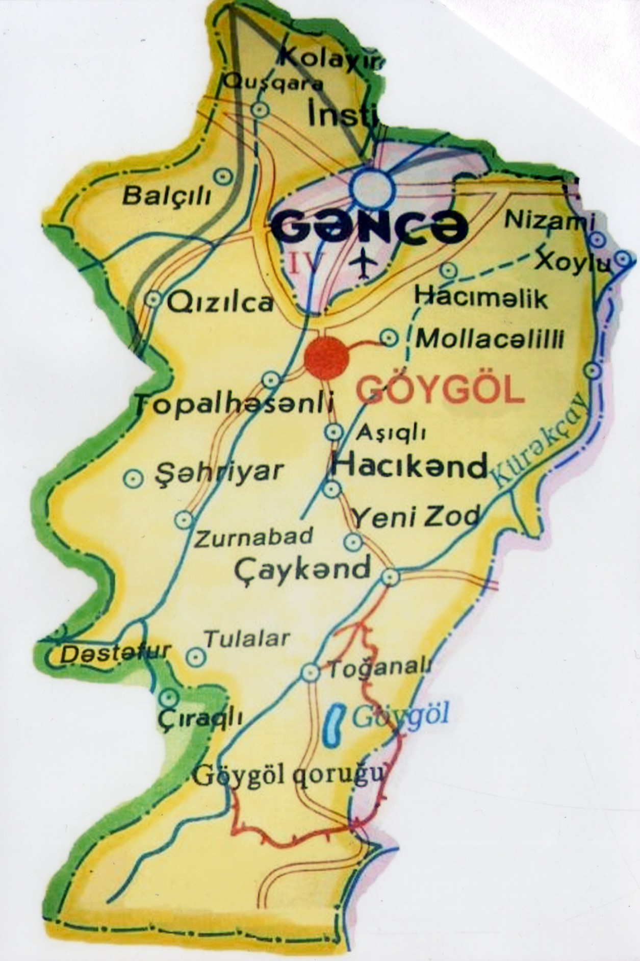
Goygol District is located in the western part of the Republic of Azerbaijan in a mountainous and foothill zone. Its highest point rises 3,724 metres above sea level. The district boasts unique nature with rich flora and fauna.
It borders the city of Ganja and Samukh District to the north, Goranboy District to the east, Kalbajar District to the south, Dashkasan District to the south-west and Shamkir District to the west. The territory stretches 55 km from north to south and 36 km from west to east. Within these boundaries the area of Goygol District is 0.92 thousand sq km and the population stands at 65.3 thousand people.
Goygol District was established as an administrative district in August 1930.
It comprises 27 administrative-territorial units that include 1 city (the city of Goygol), 6 settlements and 38 villages. Seven municipalities operate in the district.
The economy of the district is based primarily on agriculture. The population is mainly engaged in livestock breeding, crop farming and viticulture.
The Ganja–Dashkasan and Baku–Tbilisi main highways cross the territory of the district. The Ganja railway station is located 15 km from the district centre and Ganja Airport is 12 km away. The distance from the district centre to the capital of the republic, the city of Baku, is 364 km.
The famous Kapaz mountain, as well as the lakes Goygol, Maralgol, Zaligol and Aynagol, are situated on the territory of the district. The rivers Gushgara, Ganja and Kurek flow through it. Goygol District is rich not only in picturesque nature but also in historical and cultural monuments. There are 31 historical and architectural monuments of local significance dating back to the 12th, 14th, 16th and 19th centuries, of which 8 are burial mounds, necropolises and open campsites, while the rest are buildings and bridges.


